Tools for Forecasting Clouds (on April 8th)
Depending on the needed lead time, there are many ways to estimate the cloud cover on a given day/time. This includes climatology, long-range (global) models, shorter-range (regional) models and then satellite and other measurements. April 8th is a day of increased interest for cloud forecasts. The WFO at Fort Worth (TX) will be providing cloud forecasts, starting on March 29th.
Climatology
When one is weeks, months or years out, then climatology is the only option for a idea how cloudy a region might be.
The above figure (from this UW/CIMSS Satellite Blog post) is apparently “… all over the internet, showing the cloud climatology (or the study of climate) over the past 28 years compiled from GOES”. Or a loop of each April 8th geostationary image since 1979. Of course these aren’t forecast, just what has happened in the past. There are several other similar climatologist, based on MODIS or re-analyzed data.
Long-range (global) models
Once the event is within a week or so, long-range global NWP offer some guidance regarding locations of low pressure areas and some fronts, links of NOAA forecasts out to 5 and 8 days. A page (by Tomer Burg) with ensembles of NWP cloud forecasts. Cloud forecasts, by Fort Worth (TX) NWS will be starting on March 29th.
Shorter-range (regional) models
Once the target date is within a few days, higher resolution regional models will offer guidance. Most numerical prediction models do not include the effect of the reduced solar radiation associated with a total solar eclipse, but we know that the reduced surface heating can decrease clouds such as fair-weather cumulus. NOAA’s HRRR model (“total cloud cover”) is one that apparently will take this eclipse into account.
Each NWS WFO also offers a short-term cloud cover forecast (mouse over “sky cover” and then the times to the right). Or these experimental pages.
Satellites
The day of the event, one can look at many observations, those from satellite include NOAA’s GOES ABI, from many sources (NOAA, geosphere, slider, RealEarth and SSEC). Many links can be found to GOES animations. Which spectral bands or combinations to use depend on the time of day, etc.
Summary
Of course if one doesn’t see the Sun from the Earth during the eclipse due to heavy cloud cover, one can always see the moon’s shadow on the Earth from GOES and other satellites. including the eclipse from 2017.
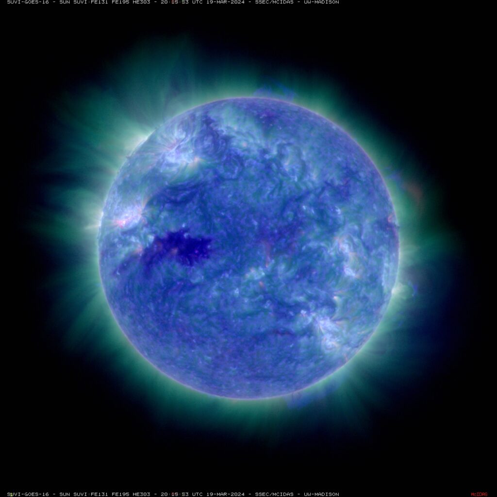
The SUVI on the GOES also allows for routine images of the Sun.

Be safe.
H/T
Thanks to the UW-Madison, SSEC; SSEC Data Services and UW/AOS. Thanks also for the Eclipse Predictions by Fred Espenak, NASA’s GSFC. And thanks to those who have blogged regarding this 2024 event. Several of the images in this blog were made using McIDAS-X. Some models forecast out to 16 days, but the question is to what skill level for clouds.
—————
Free Secure Email – Transcom Sigma
Transcom Hosting
Transcom Premium Domains
