Radiation fog over Lake Mendota in southern Wisconsin

GOES-19 True Color RGB (left) and Blowing Snow RGB (right), from 1431-1801 UTC on 25th December [click to play animated GIF | MP4]
5-minute CONUS Sector GOES-19 (Preliminary/Non-operational) True Color RGB and Blowing Snow RGB images created using Geo2Grid (above) displayed a small patch of radiation fog over Lake Mendota that slowly dissipated during the morning hours on 25th December 2024 (the Blowing Snow RGB is a modified version of the Day Snow-Fog RGB, which uses higher spatial resolution Band 2 imagery in place of Band 3 as the Red component). Much of Lake Mendota was still ice-free (although some ice growth had occurred along parts of the shoreline) — but nocturnal radiational cooling allowed the surface air temperature at nearby airports to reach minimum values of 9ºF at Middleton (KC29) and 10ºF at Madison (KMSN).
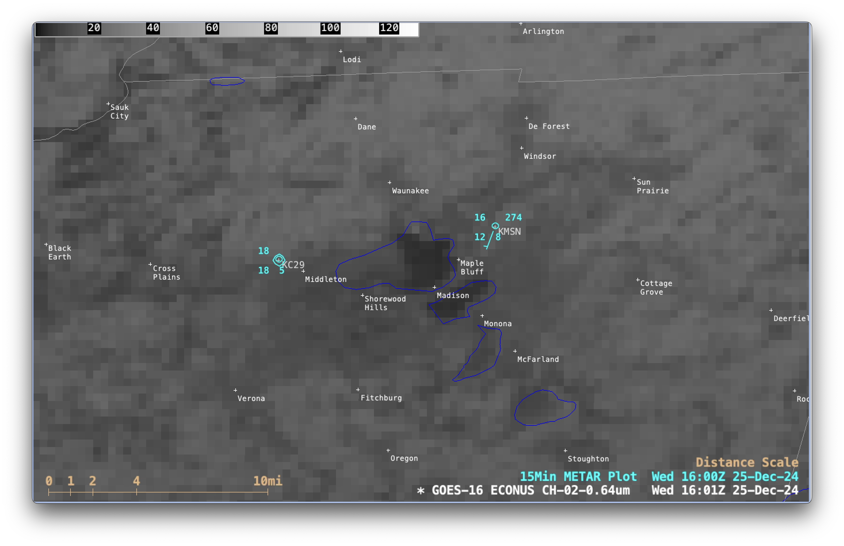
5-minute GOES-16 (GOES-East) Visible images (below) showed the fog dissipating over the western half of Lake Mendota as surface air temperatures began to warm after sunrise.

GOES-16 Red Visible (0.64 µm) images with surface reports with 15-minute METAR surface reports plotted in cyan, from 1431-1801 UTC on 25th December [click to play MP4 animation]
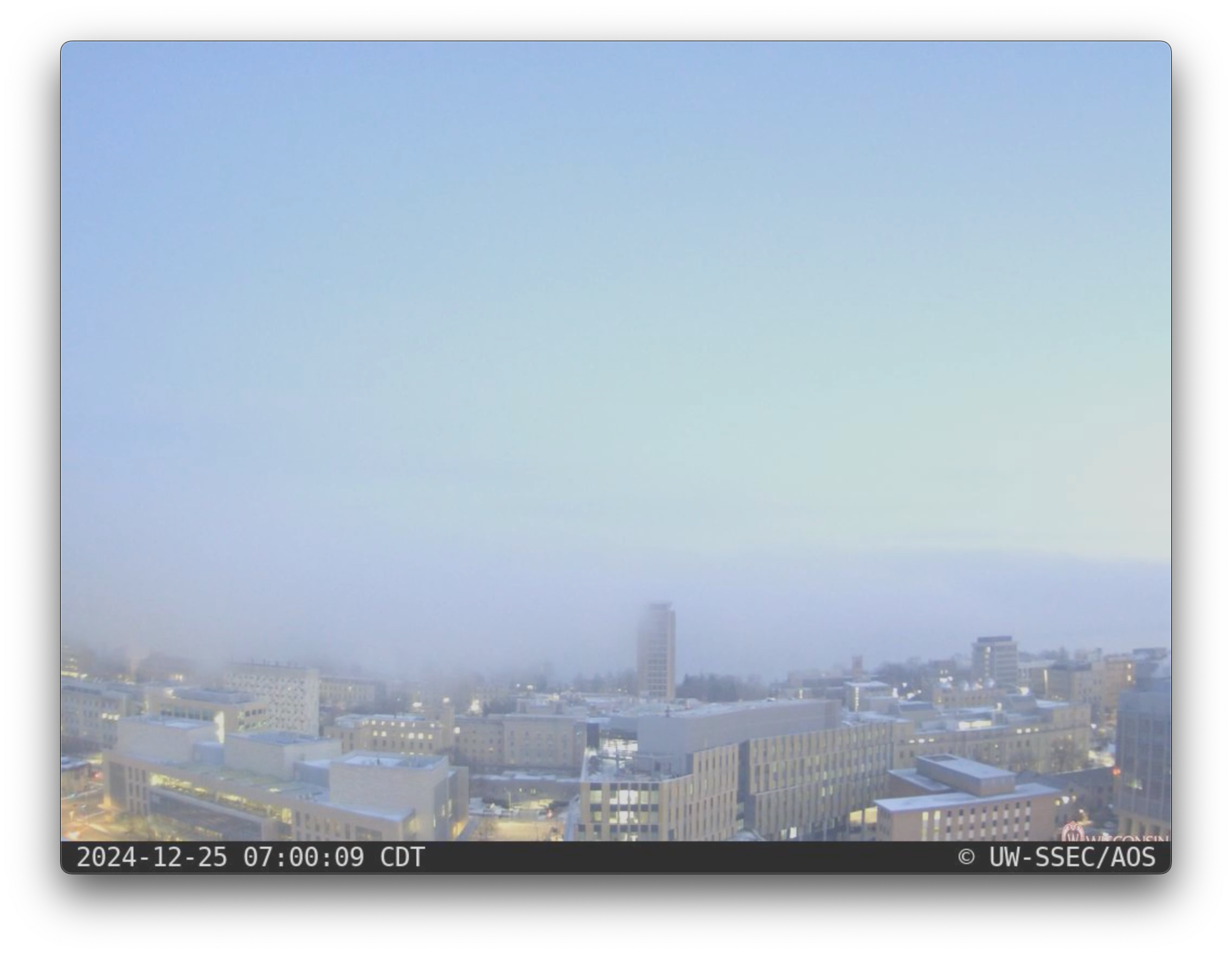
UW-SSEC/AOS north-facing rooftop camera images (below) revealed multiple incursions of the Lake Mendota fog into the University of Wisconsin – Madison campus (both before and after sunrise).

UW-SSEC/AOS north-facing rooftop camera images [click to play MP4 animation]
Thanks to Tim Schmit (NOAA/NESDIS/STAR) for bringing this interesting case to our attention.
—————
Free Secure Email – Transcom Sigma
Transcom Hosting
Transcom Premium Domains
