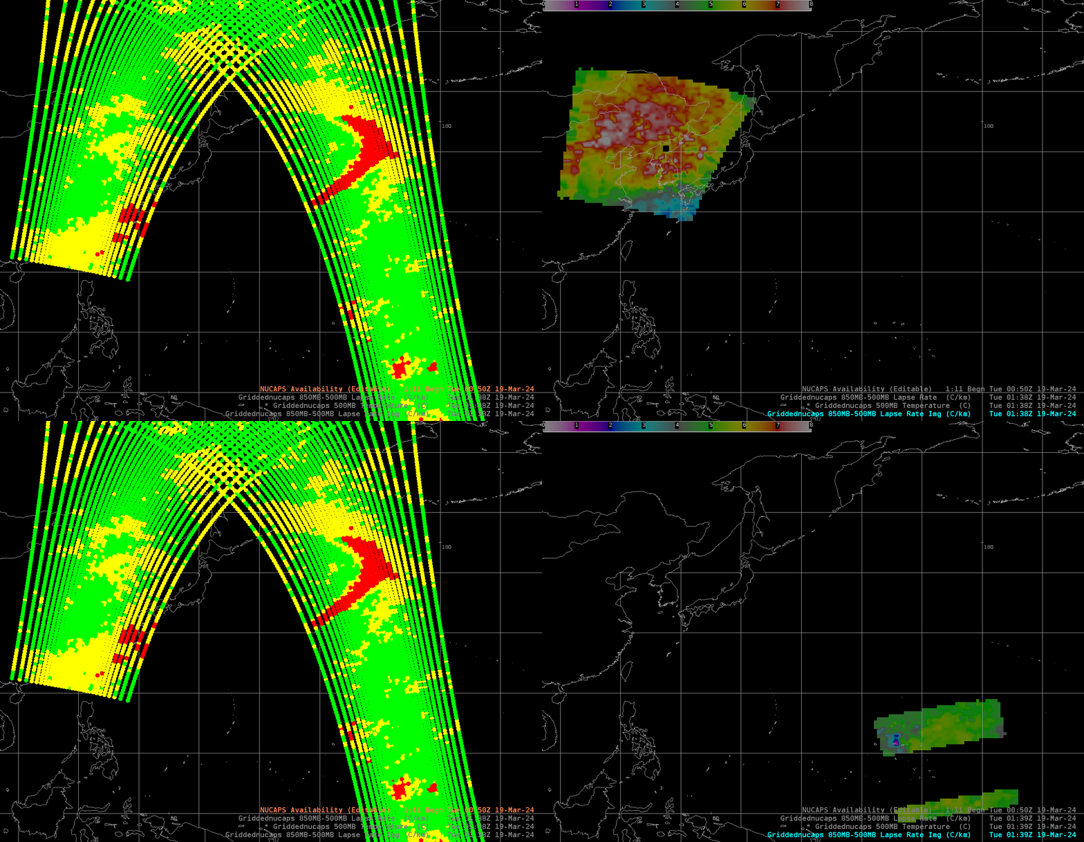
Gridded NUCAPS in AWIPS include data from MetopC

The incorporation of MetopC NUCAPS files into AWIPS also means that MetopC Gridded NUCAPS fields are available for forecasters to help diagnose the state of the atmosphere. The toggle above shows two swaths of data, one from MetopC over China, and one from NOAA-20 over the western Pacific. The imagery also includes estimates of the 850-500 mb lapse rates in two regions (that I accessed through AWIPS’ Product Browser). Those are viewed a bit more closely below.
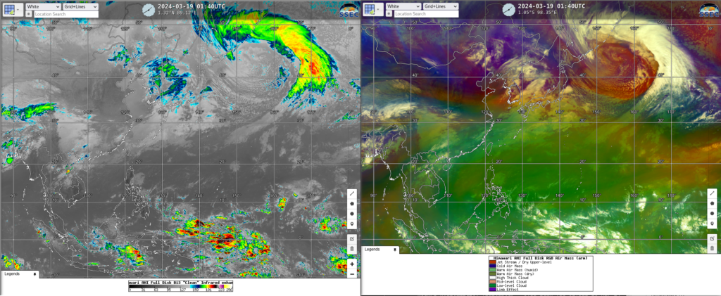
The time of the MetopC and NOAA-20 overpasses was near 0140 UTC on 19 March. Himawari-9 Band 13 (Clean Window infrared, 10.4 µm) and Air Mass RGB imagery (taken from Real Earth) show evidence of a polar front over China. Much of the West Pacific is in a tropical airmass.

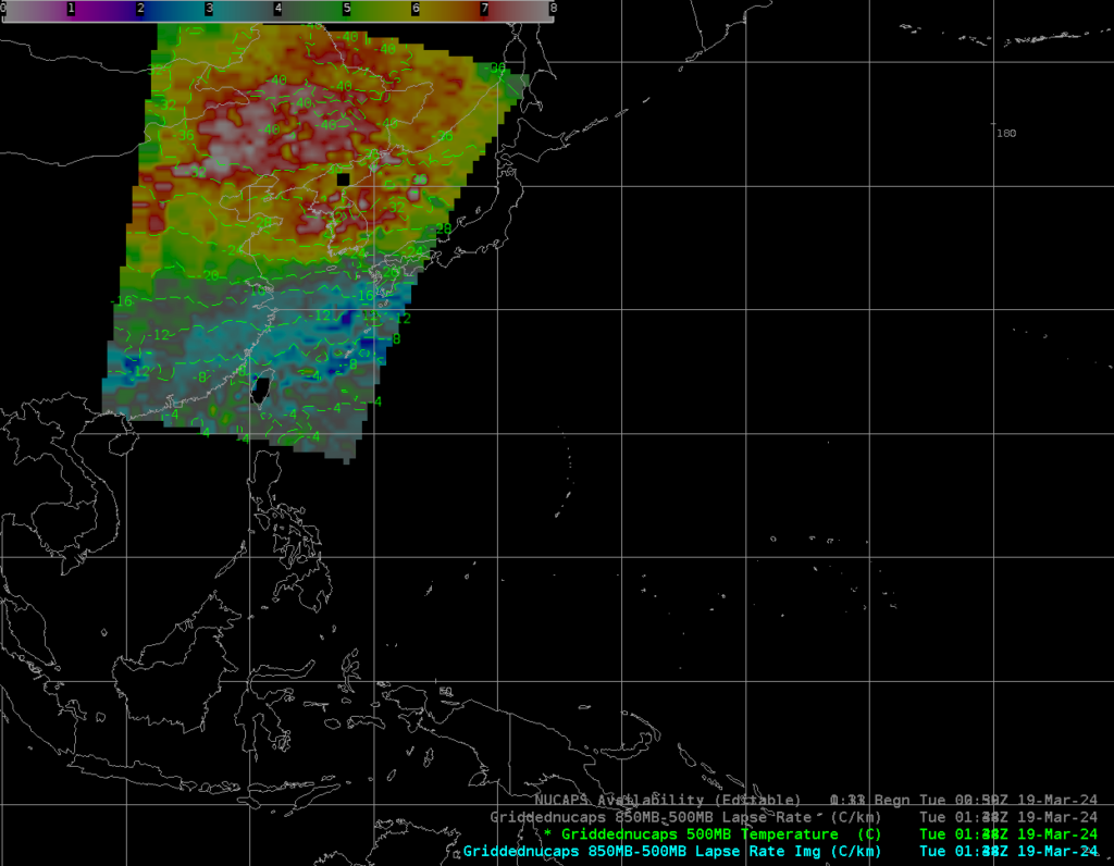
MetopC Gridded NUCAPS fields, below, show the very cold (ca. -40oC) 500-mb temperatures and steep lapse rates associated with the upper level front over China.

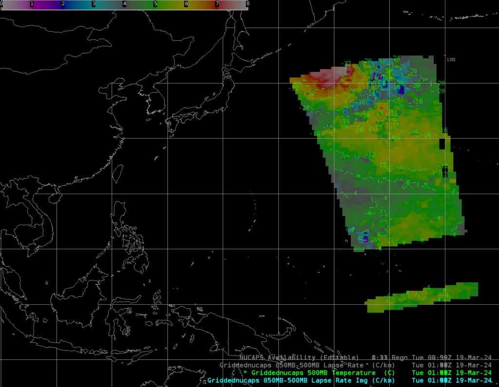
At about the same time, NOAA-20 saw very steep lapse rates each of Japan, but relatively warmer 500-mb temperatures (i.e., the lower levels were likely warmer).

Use gridded NUCAPS fields to determine what’s going on in the troposphere in regions where other sources of data are scarce, and also over data-rich regions where more thermodynamic information will be useful.
—————
Free Secure Email – Transcom Sigma
Transcom Hosting
Transcom Premium Domains
