
GREMLIN radar estimates over American Samoa
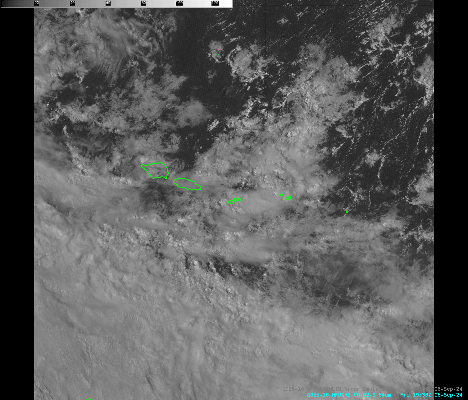
GOES-18 Visible imagery, above, over the Samoan Islands, shows a variety of cloud structures moving from north to south over the Samoan Islands, especially over the smaller islands of American Samoa (Tutuila, Ofu/Olosega and Ta’u). The animation below, covering about the same time span, shows GREMLIN radar estimates. GREMLIN is a Machine-Learning tool the predicts radar returns based on ABI and GLM observations. Although it was trained on CONUS imagery, it does provide actionable information over the tropical South Pacific.
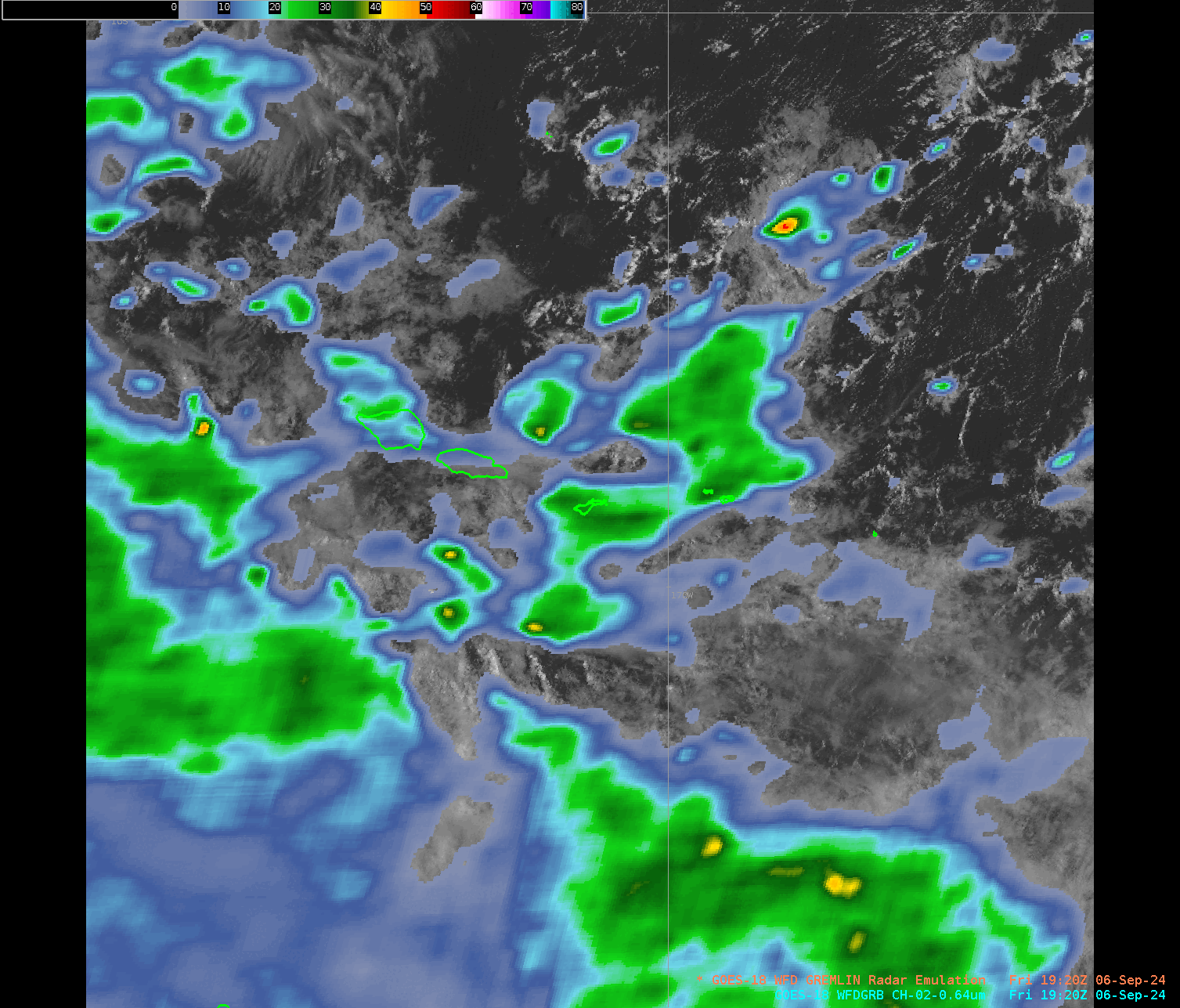

The view to the east of the Pago Pago airport, above, at 2127 UTC, shows the lower ceilings associated with the heavy rain. GREMLIN did a great job on this day of predicting onset and cessation of rains during a day when Flash Flood Warnings were issued (at 2208 UTC).
—————
Free Secure Email – Transcom Sigma
Transcom Hosting
Transcom Premium Domains