
Direct Broadcast data at WFO Guam as a vital component in monitoring tropical cyclones

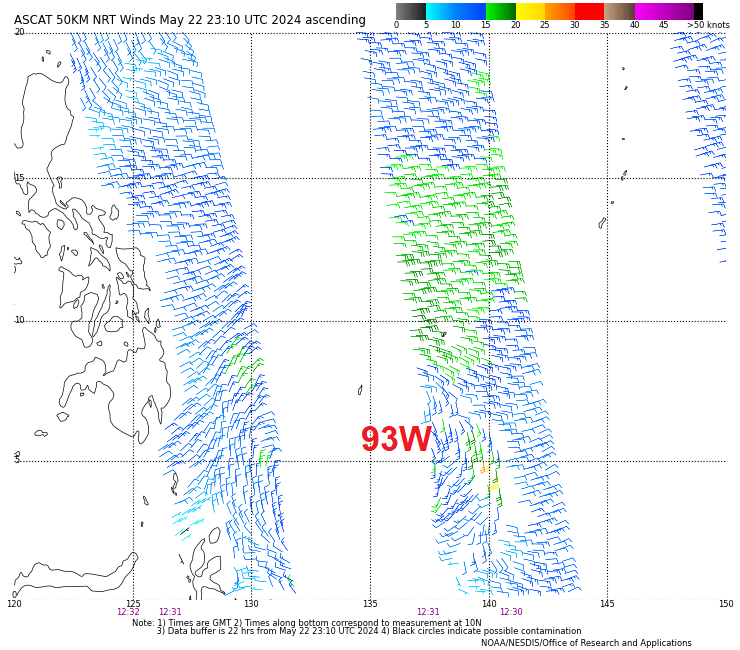
The AMSR-2 89-GHz brightness temperature image above (courtesy Brandon Aydlett, WFO GUM), from 1628 UTC on 22 May 2024 (downloaded at the Guam National Weather Service Direct Broadcast antenna and processed with CSPP software) shows curved convective bands around the center of Invest 93W in the western Pacific between Guam and the Philippines. Processed wind speeds from this overpass (not shown, but also available at the forecast office in Guam) showed maximum winds near 20 knots. Why is this data important? It allows forecasters on Guam information on a developing system, one that is in between ASCAT overpasses (see below), for better analysis, awareness and decision-making.
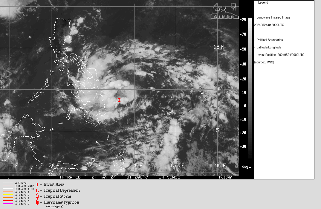
By 0000 UTC on 24 May 2024, below, this tropical disturbance was approaching the Phillippines. Small values of vertical wind shear and warm water temperatures will help it to organize; terrain over the Phillippines will interfere with any organization. For more information on this system, refer to the CIMSS Tropical Weather Website, the Joint Typhoon Warning Center, the JMA/Tokyo RSMC, and Pagasa in the Phillippines.
Many thanks to Brandon Aydlett, Science and Observations Officer at WFO GUM for forwarding along the GCOM-W1 and ASCAT images!
—————
Free Secure Email – Transcom Sigma
Transcom Hosting
Transcom Premium Domains