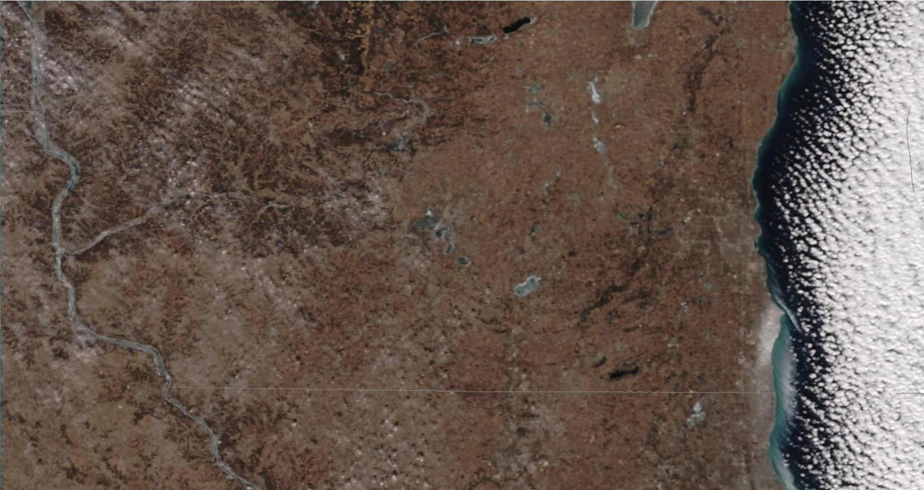
True Color Imagery at different scales

While Wisconsin endures a very cold airmass without the brightening benefit of snow, various satellites continue to take spectacular imagery. The GOES-16 True Color imagery above, from the CSPP Geosphere site, shows a clear scene and snowless features over southern Wisconsin (except over Racine and Kenosha counties in far southeast WI where lake-effect snow fell earlier this month). The resolution of the GOES-16 Visible channel (Band 2, 0.64 µm) is 0.5 km at the sub-satellite point, meaning an effective resolution of around 1 km over Wisconsin. NOAA-20 overflew Wisconsin on 19 January and the scene below, from the VIIRS Today website, shows a similar view, but with nominally better resolution: the visible channels (M03, M04, M05) used to create true-color imagery have 750-m resolution. The ‘true color’ views do not look the same because of the different wavelengths that are used to create them.

Even better resolution imagery occurred when Sentinel-2A overflew Wisconsin on 17 January 2025 (link; to reproduce the imagery below, change the date at the website that opens; this site also allows a user to view southern California and the effects of recent fires). The MSI (Multi-Spectral Imager) on Sentinel-2A has 10-m resolution at 0.49, 0.56 and 0.67 micrometers), so it can produce pictures with far higher resolution, but its temporal coverage is restricted. Madison was lucky on the 17th: full coverage on a clear day. It really is that brown in Wisconsin without snowcover! Your blogger also finds the ice patterns on the lakes fascinating.

A zoomed-in view over Madison’s isthmus, below, includes the UW-Madison campus and the State Capitol.

.
—————
Free Secure Email – Transcom Sigma
Transcom Hosting
Transcom Premium Domains
