Mesoscale Vortex in the Beaufort Sea
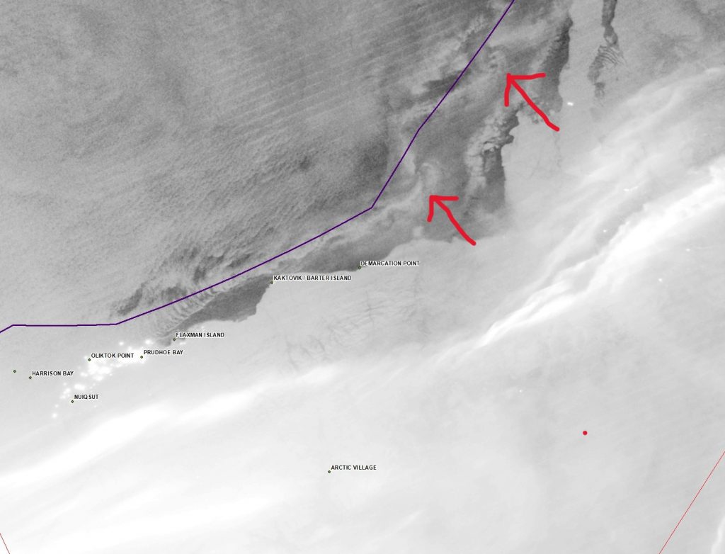
To the CIMSS Inbox, From to the Alaska Ice Desk:
I noticed what I think are a pair of mesoscale convective vorticies forming on a boundary in the southeastern Beaufort Sea between the Mackenzie River Delta and the ice pack where there's still open water. I don't think there's much impactful going on, and there's no SAR to see the wind field yet but an interesting feature none the less. This is adaptive day/night band and overall the imagery wasn't great, but wanted to pass it along as an interesting feature to look at.
Indeed, the feature is very hard to see in the Day Night Band because of a lack of lunar illumination (the moon is a New Moon on November 1st). How did this feature evolve with time (can that be viewed?), and what did other VIIRS Imager Bands show?
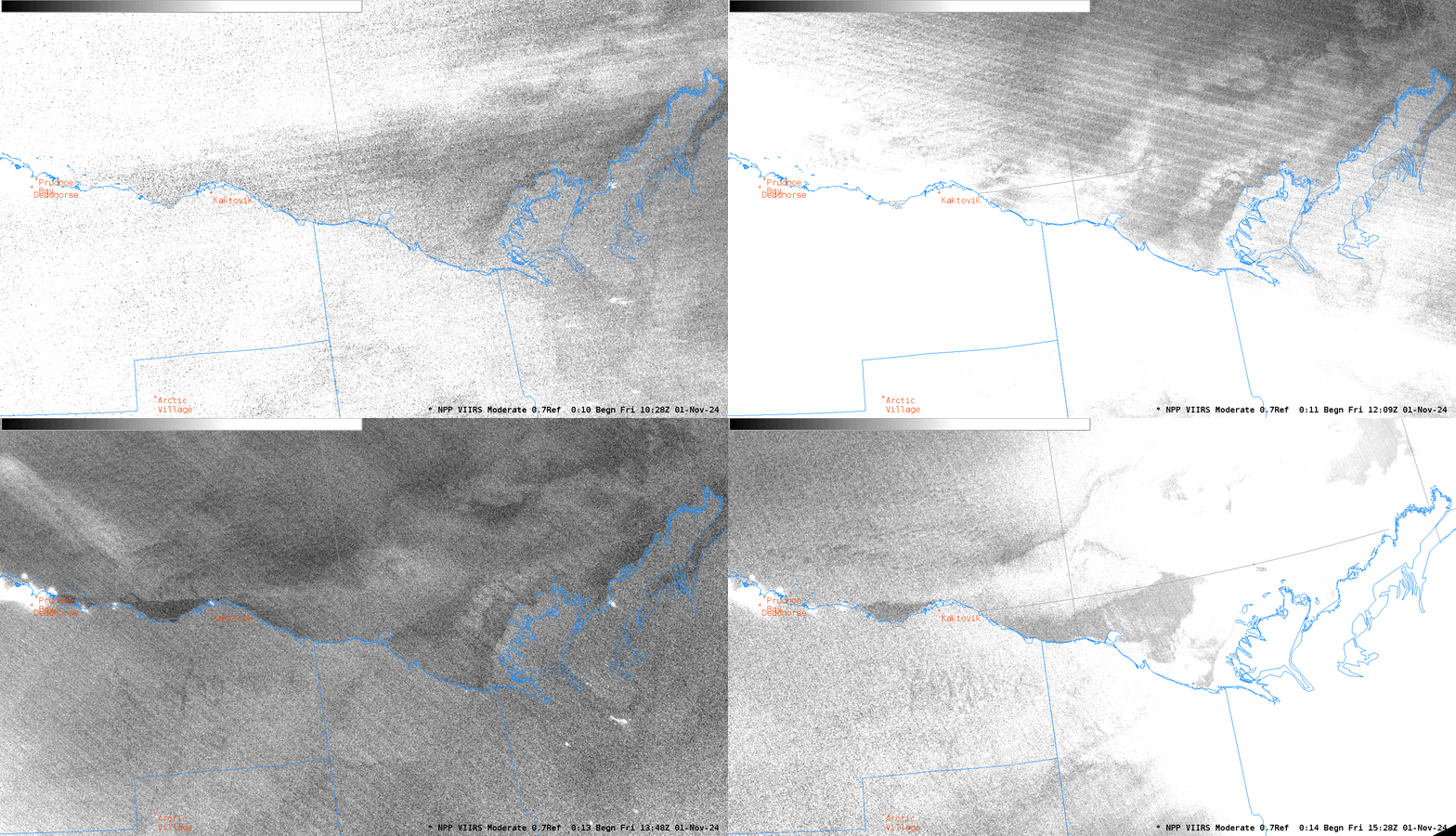
In AWIPS, the Day Night Band imagery is shown as the Near Constant Contrast (NCC) product. The animation below shows Day Night Band imagery for the five hours between 1028 and 1528 UTC on 1 November. You will immediately note that the brightness of the scene varies considerably – because of the appearance and disappearance of Aurora on this date! It proved very difficult to enhance this NCC product to match the Adapative DNB shown above! (Note the position of Kaktovik in the image up top and the image below).
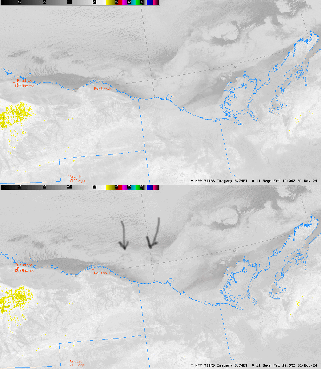
The I04 data below, at 3.74 µm, however, shows (faintly!) the two circulation centers at 1209 UTC.
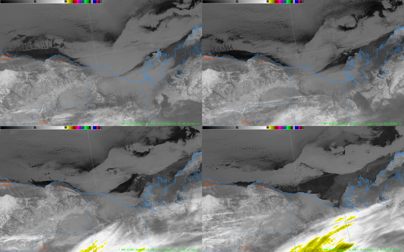
The animation of the I05 data (infrared imagery at 11.45 µm), rescaled so that brightness temperatures are between 0 and -80oC, below, shows the feature at 1209 UTC, and maybe you can infer its movement (I cannot) from these widely-spaced snapshots. But it’s an interesting feature to investigate.
Added, Bill Line, NOAA/NESDIS at CIRA, forwarded along the following animation of Day Night Band images from two JPSS Satellites (NOAA-20 and NOAA-21). The swirls are near the western edge of the animation below and appear to be moving to the west. But the lack of illumination is making interpretation a challenge. Thanks for the imagery Bill!
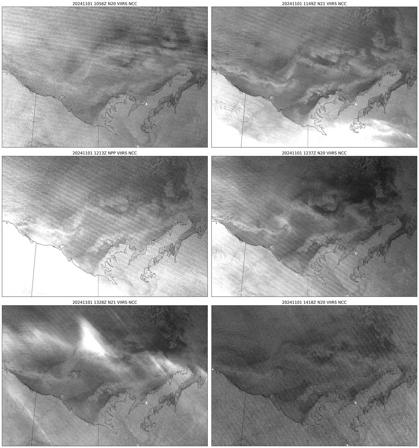
Thanks to Mike Lawson at the Alaska Ice Desk for highlighting this ice-edge feature.
—————
Free Secure Email – Transcom Sigma
Transcom Hosting
Transcom Premium Domains
