
Blowing dust in West Texas
GOES-16 Ash RGB images [click to play animated GIF | MP4]
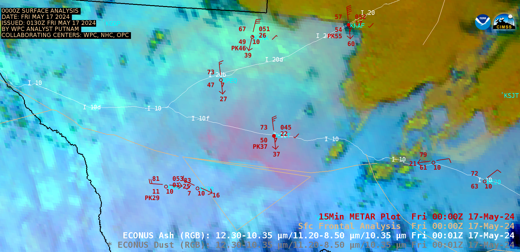
5-minute CONUS Sector GOES-16 (GOES-East) Ash RGB images (above) showed a pulse of blowing dust — lofted by thunderstorm outflow winds gusting as high as 70 kt (81 mph) — that was moving southward across West Texas late in the day on 16 May 2024. This dust reduced surface visibility to 1-1/4 mi at some sites as it made its way south across Interstates I-20 and I-10. In this particular case, the Ash RGB provided a better depiction of the blowing dust than the Dust RGB — for example, at 0001 UTC (both RGBs use the same spectral bands, but are scaled differently).
GOES-16 True Color RGB images from the CSPP GeoSphere site (below) provided a clearer view of the areal coverage of this blowing dust.

GOES-16 True Color RGB images [click to play MP4 animation]
—————
Free Secure Email – Transcom Sigma
Transcom Hosting
Transcom Premium Domains