
GOES-16 enters Mode 4 (update: Mode 4 operations have ended)
From 1500 to 1900 UTC on 4 January 2024, GOES-16 was in Mode 4 (vs. the usual Mode 6) operations. Mode 4 scanning produces a full-disk image every 5 minutes. Mesoscale sectors and CONUS sectors are not scanned (although a CONUS sector can of course be subsected out of the Full Disk image). The mp4 animation above (from the CSPP Geosphere site) shows the transition. Before 1500 UTC, data are at 10-minute time-steps; after 1500 UTC, 5-minute time-steps occurs. Imagery is over Panama, a region where 5-minute images typically are not available. Indeed, regions outside of GOES-16 CONUS sector will enjoy the benefits of a 5-minute cadence until 1900 UTC on 4 January 2024. The Mode change has occurred to create simulated data for GOES-U, still scheduled for launch in late April of this year.
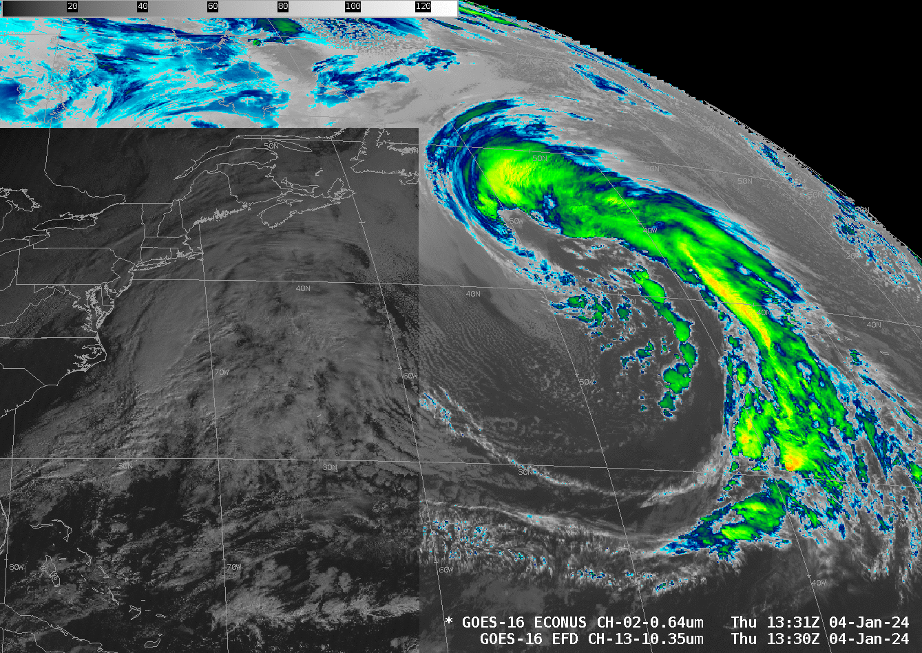
The data feed into the National Weather Service Advanced Weather Information Processing System (AWIPS) is not greatly affected by the change from Mode 6 to Mode 4, as shown below. Full Dis imagery changes from a 10-minute to a 5-minute cadence at 1500 UTC, and the timestamp for the CONUS sector changes from …/1446/1451/1456 to 1500/1505/1510… UTC.
The ‘Time-Time’ charts (that show scanning strategies are available online here for Mode 4 and here for Mode 6 (or here).
As of 1900 UTC 4 January 2024, GOES-16 is back in Mode 6 operations. The screenshot below is from the CSPP Geosphere site.

—————
Free Secure Email – Transcom Sigma
Transcom Hosting
Transcom Premium Domains